Geological Analysis
For the rock observation, the Munsell Rock Color Book was used, linking the nomenclature to the coloration of the rocks found in the natural surroundings of the visited sites. Color Atlas


A natural icon of the city of Coyhaique, Mac Kay Hill is renowned for its striking vertical columns. These formations are the remains of an ancient volcanic neck that was active approximately 60 million years ago. Most of its rocks belong to the subvolcanic igneous group.


This site in the Aysen Region features the largest and most representative formations of the so-called “giant’s pots.” (marmitas de gigante)

This landscape is composed by a group 50 isolated hills, remnants of explosive volcanism that occurred in the sea around 120 million years ago. Some measure over 1 km in diameter and up to 100 meters in height, distributed across an area of roughly 300 km² of steppe.


A tourist landmark on the route connecting Coyhaique and Puerto Aysén. This cascade perfectly represents the waterfall morphologies of the region. The rocks are mostly intrusive igneous, with small percentages of magnetism.


An iconic rock in Chile Chico city, dating back 150 million years, when Africa and South America began to separate. Its rounded shape is the result of glacial action over the past million years. Local history recalls its use as a hideout during the “Chile Chico War” of 1918.


Located southeast of Chile Chico, these are the only travertine outcrops identified as a distinct geological unit in the Aysén Region. In general terms, “travertines” is a termed used for sedimentary rocks of chemical origin, formed from inorganic limestone deposits.


A steep and imposing ravine along the route connecting Bahía Murta with Puerto Eulogio Sánchez. It is characterized by Mesozoic granitoids with megacrystals of potassium feldspar.


These are marble rocks shaped by karstic relief (Figure 18), with cavities formed by the dissolution of carbonate in the waters of Lake General Carrera. These are the only outcrops of their kind in the entire Aysén Region.


A strikingly representative and well-preserved landscape formed from the remnants of a volcanic dome that probably collapsed around 150 million years ago.


This is a characteristic area of fine-grained black rocks rich in fossil remains, evidence that the central zone of Aysen was once submerged under an ancient sea up to 140 and 120 million years ago.


The remains of an old copper and lead mine located in the hills just south of Puerto Guadal. The mine was active intermittently between 1954 and 1986.

A “textbook” site to study the tectonic forces that have shaped Patagonia over the last 300 million years. Today, it also holds cultural value, as local artisans extract marble from the area to craft traditional works.


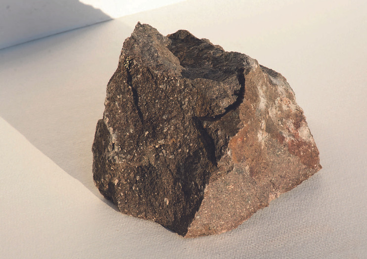
Found near the Traiguanca Bridge, this rock is composed of approximately 89% massive serpentine, predominantly antigorite with minor lizardite content.